

 Back
Name of Object:
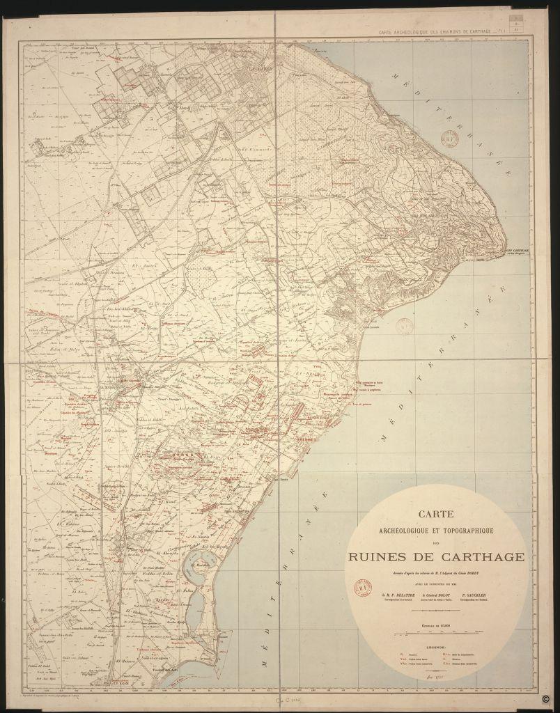
Archaeological and topographic map of the Carthaginian ruins
Location:
Paris, France
Holding Institution:
National Library of France
 About National Library of France, Paris
Date of Object:
1907
Author:
Cartographer: Pierre Bordy
Inventory Number:
GE C 3636
Description:
Having been invaded and destroyed many times, the city of Carthage was then subject to various sackings, and its ruins served as a quarry for nearby towns. The site was rediscovered in the 19th century and became fashionable following the publication of Flaubert's novel Salammbô. Archaeologists soon felt the need for the different sites to be mapped, and in 1833 a Danish marine, Falbe, put forward a proposal for the Recherches sur l'Emplacement de Carthage. Thanks to the maps drawn up by the army's geographical service and military engineers, by the end of the 19th century archaeologists were able to conduct more detailed work, particularly with regards to the division of land.
Type of Object
Map
Archival or Bibliographical Reference:
GE C 3636
Citation of this web page:
"Archaeological and topographic map of the Carthaginian ruins " in "Sharing History", Museum With No Frontiers, 2026.
https://sharinghistory.museumwnf.org/database_item.php?id=object;AWE;fr;13;en
Translation by: Flaminia Baldwin
MWNF Working Number: FR 013
Related Content
On display in
Exhibition(s)
Sharing History
Cities And Urban Spaces | Urban Planning And The Instruments Of Planning | Studying Sites Rediscovering The Past | Mapmaking | Mapping The PastMWNF Galleries
Prints and drawingsDownload
As PDF (including images) As Word (text only)