

 Back
Name of Object:
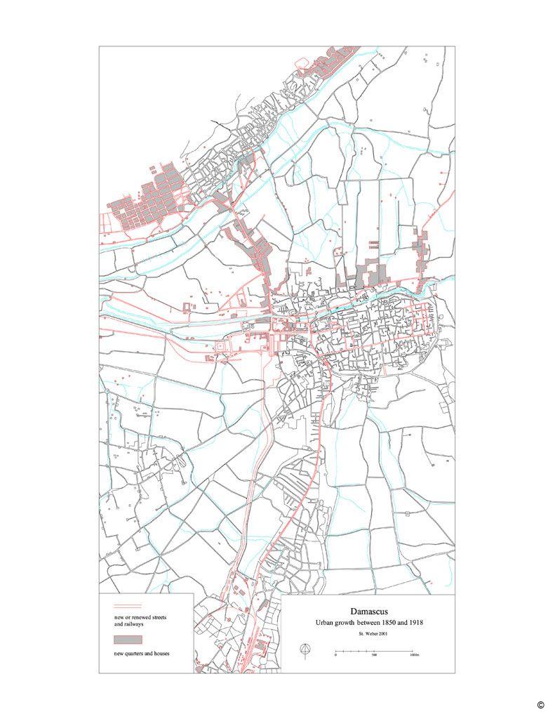
Outline map of Damascus in 1918
Other name of the Object (second name):
Indicating urban growth to the fin de siecle
Location:
Berlin, Germany
Holding Institution:
Museum of Islamic Art at the Pergamon Museum, State Museums
 About Museum of Islamic Art at the Pergamon Museum, State Museums, Berlin
Date of Object:
Map made in 2005
Description:
Damascus, now the political and cultural centre of Syria, is one of the world’s oldest continuously inhabited cities. The design of its living spaces and the organization of urban society were always connected to the culture of its inhabitants. Damascus’ geographical space reflects this “spatial turn”: Its public spaces were clearly shaped and influenced by the diverse social, historical and cultural structures and events, which contributed to the vitality of Damascus’ multilayered Urban Design.
Type of Object
Photograph; map
Citation of this web page:
Stefan Weber "Outline map of Damascus in 1918" in "Sharing History", Museum With No Frontiers, 2026.
https://sharinghistory.museumwnf.org/database_item.php?id=object;AWE;de;11;en
Prepared by: Stefan Weber
MWNF Working Number: DE 011
Related Content
On display in
Exhibition(s)
Sharing History
Cities And Urban Spaces | Urban Planning And The Instruments Of Planning | Overview Economy And Trade | Important Trading Hubs | Commercial CitiesMWNF Galleries
Prints and drawingsDownload
As PDF (including images) As Word (text only)